Fairmont Hot Springs would be a challenging community to live in if disasters similar to last summer’s mudslide were a regular occurrence. But according to a report commissioned by the Regional District of East Kootenay, another major mudslide is not likely to happen at Fairmont again within the foreseeable future.
“The July 2012 event had an estimated return period of 475 years,” said Jennifer Clarke, owner and geoscientist at Clarke Geoscience during a presentation at the Fairmont Hot Springs Resort on the evening of Wednesday, April 10th. “Basically, that’s a ten percent probability of occurrence in 50 years.”
Ms. Clarke is the professional geoscientist who completed a debris flow hazard and risk assessment for the Regional District of East Kootenay.
Instead of measuring the probability of a major mudslide occurrence on a year-to-year basis, the analysts can make more accurate predictions by stepping back and estimating the probability over a long period of time.
Completing a post-event investigation allows affected parties to further understand the process and character of the event, as well as what triggered it, she said.
“The overall goal is to reduce or minimize damage, and prevent injury and the loss of life by understanding landslides and other natural disasters.”
The July 15th mudslide was coaxed into existence by weather and watershed conditions, Ms. Clarke said. While the watershed contributed to the disaster, it was weather that triggered it.
“It’s a combination of the two but the weather was the trigger,” she said. “Snowfall, snowmelt rates and rainfall intensity are the main climate factors that effect landslide triggers.”
The report says that the 2011-2012 snowpack accumulated at a rate 170 per cent above average, before a rapid snow melt in May was followed by a localized storm cell which poured down over 20 millimetres of rain.
As many will recall, it was a hefty mess. More than 350 people had to be evacuated after an estimated 65,000 cubic meters of debris came crashing through the community.
“The Fairmont mudslide is comparable to other landslides occurring last year, and one of the bigger events to occur in the southern interior last year,” she said.
The condition of the ground only abetted the disaster.
“For an event this size, the debris ran out quite a ways, and I think that’s a function of the size of the fine-textured sediment in the basin,” she said. “Because the material in the basin weathers and breaks down into smaller sizes, that material is able to be transported further.”
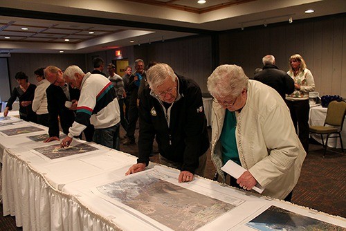
At the talk, Clarke Geoscience displayed an illustrated map of Fairmont which classifies the risk level to areas in the community in terms of high, moderate or low risk.
Asked how she would protect her property if she were living in a danger zone, Ms. Clarke offered two pieces of advice.
“One is to be aware; a heightened awareness, particularly in spring and late summer,” she said. “Also, be involved in the consultation process; be aware that the regional district will work to access provincial funding for mitigation – and I don’t think that can happen unless the residents are involved in that process.”
She says homeowners should be aware of their watershed, and aware of where the property is located in relation to the likely line of fire.
Five recommendations were made in the report, which essentially calls for better drainage throughout the community. The estimated cost for all phases of the proposed changes would cost $2.5 million.